
SENTRI
Thousands of sensors. One satellite link. A picture that makes sense.
A South Australian collaboration prototyping a scalable network of satellite-connected sensors that turns distributed data into decisions in near real time.
Impact
THE CHALLENGE
Across defence, emergency response, agriculture and critical infrastructure, the same problem keeps appearing. Sensors are sparse. Networks don't reach. Data arrives too late, or not at all.
The result is a decision made on incomplete information, in exactly the circumstances where that isn't acceptable.
WHAT IS SENTRI
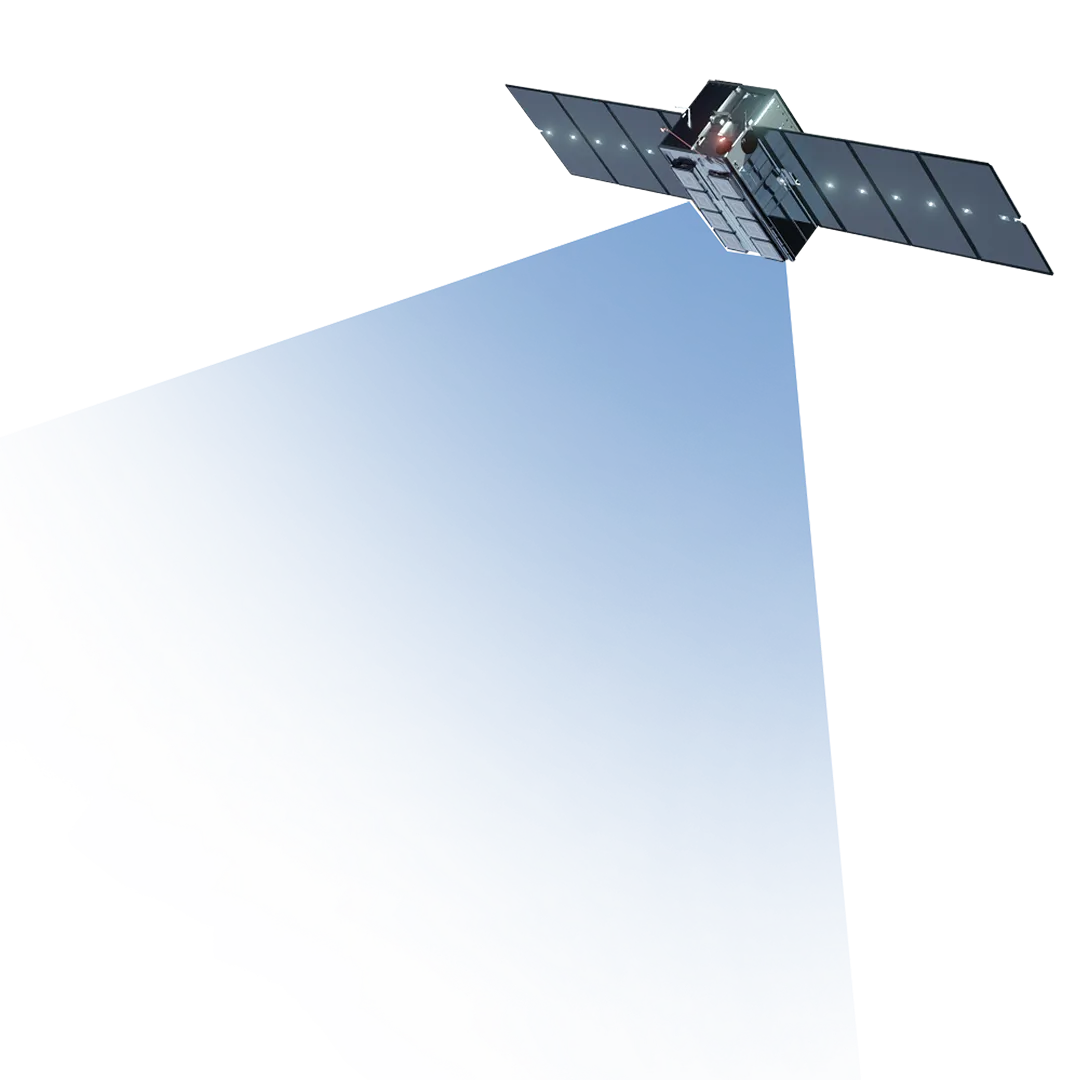
SENTRI is a prototype architecture for distributed sensing at scale. Low cost, commercially available sensors are packaged into modular field nodes with onboard computing. Each node processes what it measures on the spot, sends only what matters over a direct link to satellites in low Earth orbit, and receives commands back the same way. In the cloud and at the edge, that data is fused with contextual information such as weather and terrain, and presented as a single operational picture. Taking this approach enables greater situational awareness, leading to faster, clearer, and better decision-making.
Capability
HOW IT WORKS
1. Deploy the right sensors
Modular, low-cost sensor-agnostic nodes can be configured for different missions and redirected to new use cases with minimal reconfiguration.
2. Edge processing
Each node interprets and compresses its own data, reducing noise, bandwidth demand and the cost of scaling the network.
3. Connect from anywhere
Direct satellite connectivity removes reliance on cellular coverage and fixed infrastructure, enabling deployment across remote and geographically dispersed environments.
4. Build the operational picture
Data from across the network is fused with weather and contextual information to support alerting, hazard prediction and remote tasking. Completely cloud native.
5. Scale without adding burden
Commercially available sensors, low-power computing and autonomous operation make dense networks more affordable while reducing operator workload.
Industries
BEYOND DEFENCE
The architecture behind SENTRI can be applied to any problem that involves a lot of sensors, spread across a large area, with poor connectivity and a need to act quickly.
and disaster response
Mapping a hazard as it moves and getting people out of its path.
Wide-area environmental monitoring and early detection across remote holdings.
and industry
Remote monitoring of assets far from any network.
Persistent, large-scale measurement in places that are hard to reach and harder to service.
A South Australian collaboration.
SENTRI brings together industry, academia and Defence, sponsored by the South Australian Government through the Defence Innovation Partnership and delivered in cooperation with the Defence Science and Technology Group.









SENTRI

Progress
Where the project is up to...
SENTRI is an 18-month project funded through the Defence Innovation Partnership Activator Fund. The team has moved from concept of operations to a working prototype: a physical sensor node transmitting live to a satellite in orbit, and real data appearing on the operational picture alongside a simulated wider network. A full end-to-end demonstration of the minimum viable capability is planned for later in 2026, with the objective of positioning the architecture for transition into a larger capability development or research program.