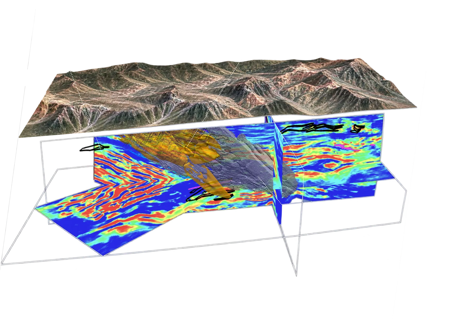



Constrain geometry, continuity and grade between holes, so definition drilling is directed to the uncertainties that matter most.
The Challenge
You have mineralisation. The edges are still assumptions.
Confirmed mineralised intercepts. Step-out and infill drilling under way. Uncertainty between holes.
At Resource Delineation, capital scales faster than confidence. Drilling proves the rock at each intercept, but the deposit between holes remains an interpretation. The next decision is no longer whether to test the target. It is where another hole will change the resource model enough to justify the metres.
The status quo of tighter spacing strengthens the evidence base, but a uniform grid does not automatically resolve fault offsets, domain boundaries, variable continuity or open margins. The program can spend heavily confirming the well-understood core while the parts that could materially change scale remain under-tested.
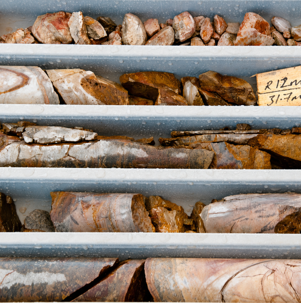
Quantified Uncertainty
Build confidence between and beyond holes:
A program where every hole answers a question.
3D Active Semimic
Active Seismic with Fleet means resource confidence and drilling intelligence.
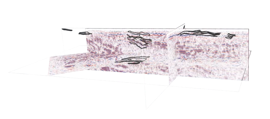
Most active seismic projects are fragmented across multiple providers: one vendor acquires the data, another processes it, and another interprets the result. The resource team is then left to connect those outputs back to the geological model and decide what they mean for drilling.
At Fleet, we own the full workflow: survey design, acquisition, processing and hard-rock interpretation are all done in-house, working directly with the your geoscience team.
Our team works from the decision backwards.
Each survey starts with the uncertainty the program needs to resolve. Is the mineralised zone continuous? Has it been offset? Does the structure persist at depth? Where will the next hole add the most information?
Seismic is then integrated with drilling, assays, geology, petrophysics and existing geophysics to build a clearer 3D interpretation of the deposit. As new holes are completed, the model is tested against ground truth and refined. The result is not just a seismic image, but a continuously improving view of resource geometry that helps focus drilling where it can add the most confidence.
Seismic for Resource Delineation
Seismic purpose-built for Resource Delineation.
High-resolution active seismic, existing drilling and machine learning integrated into one living 3D deposit model. Structure is constrained between holes. The next metres go where they change and inform the model most.
Geometry between holes
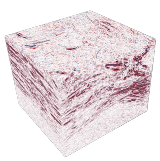
Drilling samples the deposit at discrete points. Active seismic images the contacts, faults, horizons and structural offsets that control orebody geometry between them, reducing the amount of geometry the rig has to discover.
Infill where it changes confidence
Use the integrated model to prioritise holes that materially improve the understanding of geometry and continuity, rather than tightening spacing uniformly across already-understood ground.
Margins tested
Direct step-outs to open edges, deeper continuations and structurally supported repeats. Reduce the risk that the first model stops at the edge of drill data rather than the edge of the system.
Your existing data compounds
Fleet brings drilling, assays, geology, geophysics, density, mineralogy and structural interpretation into the same 3D framework. Prior spend becomes the foundation for the next decision.
A model that updates hole by hole
As new logs and assays arrive, the geological interpretation, predictions and uncertainty are recalibrated. Next-hole priorities update before the program moves on.
Machine Learning
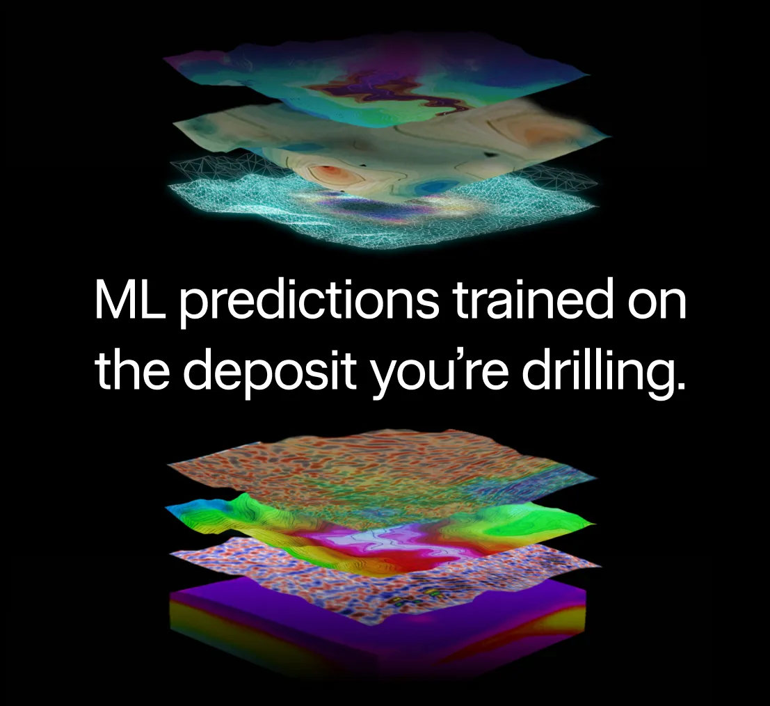
Where enough drill data exists, Fleet trains 3D prediction models on your own assays and geology, then tests them against held-out holes the model has not seen. Each block carries a predicted property or grade range, with confidence made explicit.
Instead of asking one interpretation to carry the full weight of the decision, the model provides a testable, traceable view of the deposit. Assumptions can be challenged, predictions can be checked against new drilling, and uncertainty is exposed before it becomes embedded in the resource model.
Why Fleet?
Fleet works differently.
The only seismic and ML team dedicated to hard rock mineral systems
Built for hard rock. Not adapted from oil and gas.
Active seismic was developed for sedimentary basins: layered geology, relatively simple velocity structures and predictable signal behaviour. Hard rock is different. It is steeply dipping, structurally complex and often discontinuous at depth.Fleet works exclusively in hard-rock mineral systems. Its survey design, processing and interpretation are built around those conditions, rather than carrying oil and gas assumptions into geology that behaves differently.
Deposit-scale resolution for drill planning
High-resolution 3D active seismic constrains faults, contacts and geological geometry at the scale required for resource delineation. The resulting structural model can support more informed collar placement, hole orientation and drill sequencing.
Seismic interpreted in geological context
A seismic reflection may represent a lithological contact, fault, alteration zone or mineralised body. The seismic response alone does not determine which. Fleet interprets active seismic alongside drilling, geology, petrophysics and other project data before it informs the resource model.
Designed around the geological test
Every active seismic survey begins with the uncertainty the delineation program needs to resolve. Acquisition geometry, source parameters and processing are designed around the structures, depths and orientations that must be tested.
Machine-assisted processing constrained by physics and geology
Machine learning can accelerate active seismic processing, including first-break picking, noise attenuation and interpretation support. Outputs remain tied to the seismic response, survey physics and available geological control, rather than treated as independent predictions.
Refined as drilling advances
New drillholes provide additional control for the active seismic interpretation.As drilling progresses, Fleet can revisit the seismic volume, test structural assumptions and refine the geological model around the new evidence.
Assess Your Project
Place the next hole where it changes the resource.
Tell us where your model is least certain, how deep you are drilling, and what decision the next program must support. Fleet will assess whether seismic can materially improve the delineation plan.
Assess your project

Active Seismic
FAQs
Can active seismic be used at an operating mine?
Yes. Surveys can be designed around mine infrastructure, haulage, blasting, access and operating schedules. Active seismic has been deployed at operating mines including Fruta del Norte, with survey design adapted to the site’s geological and operational constraints.
Does modern active seismic require cables or extensive line clearing?
Modern receiver arrays can use small, autonomous wireless nodes rather than long cabled geophone spreads. This can reduce line clearing, vehicle movements and site disturbance. The seismic source, access requirements and permitting are still designed for each site.
What can active seismic actually show us?
Active seismic can image geological contacts, faults, folds, offsets, host units and structural continuity between and beyond drillholes. In some settings it may image mineralised bodies directly, but its more consistent value is resolving the structures and geometry controlling mineralisation.
How do we know whether it will work for our deposit?
Fleet begins with a technical fit assessment using your geology, drilling, target depth, expected rock-property contrasts, access and operational constraints. This determines whether active seismic is likely to add value and whether 2D, 3D or reprocessing is the most appropriate pathway.
What does Fleet need to get started, and what will we receive?
We typically review your drillhole data, geological and resource models, assays, existing geophysics, target depth and site constraints. Outputs may include processed seismic imagery, interpreted structures and contacts, integration with existing models, confidence areas and recommendations for further drilling.
How long does it take and what does it cost?
Timing and cost depend on the survey footprint, target depth, required resolution, source and receiver design, access, permitting and processing scope. A technical fit assessment allows Fleet to recommend an appropriate survey and provide a project-specific scope, schedule and cost.
Fleet Space Technologies
Seismic-led intelligence